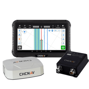
The IC100 land levelling system is powered by GPS to smooth over troughs and berms in your field, ensuring better water retention and more consistent crop growth.
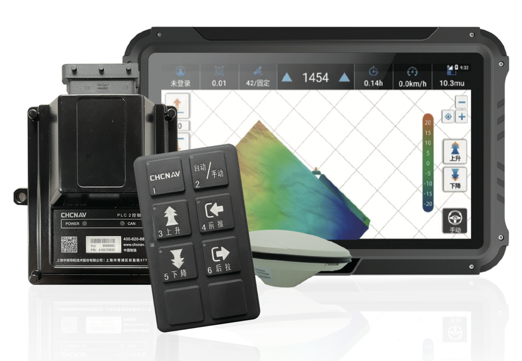
The CHCNav IC100 land levelling system utilises cutting-edge GNSS receiver technology to automate and optimise land preparation, ultimately enhancing crop growth consistency and improving water retention. This compact system is designed for precision and efficiency in diverse environmental and industrial applications, ranging from precision agriculture applications to land surveying.
CHCNav IC100 Key Features
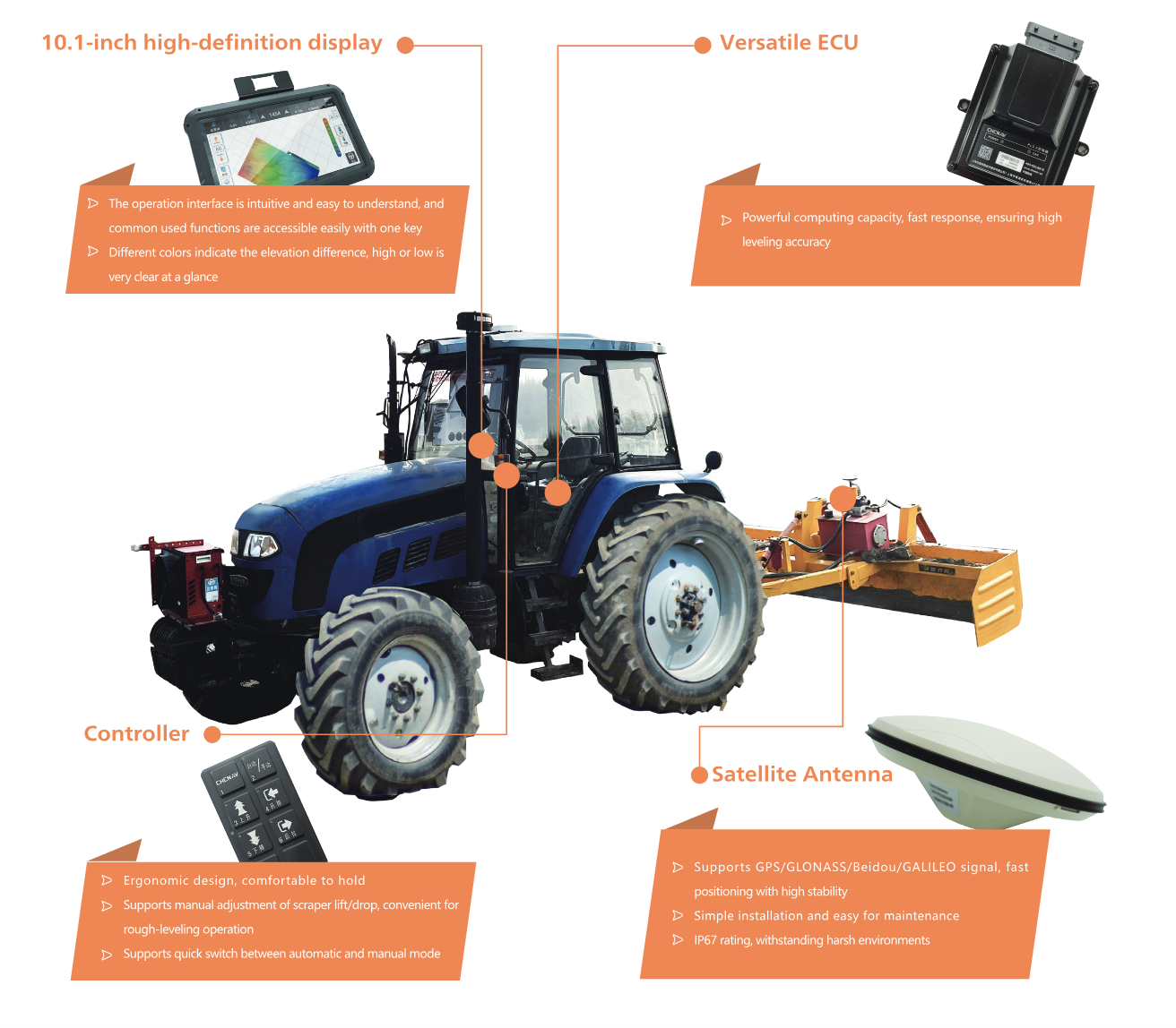
High-Precision Land Levelling System – the CHCNav IC100 is a superior land levelling system with real-time geospatial data collection capabilities, making it ideal equipment for precision agriculture and land surveying applications.
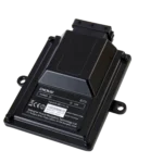
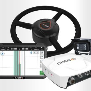
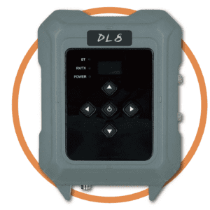
Integrated Electro-Hydraulic Control Technology – the CHCNav’s integrated electro-hydraulic control technology supports automatic levelling, allowing for real-time elevation monitoring.
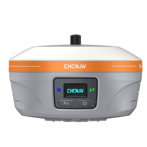
RTK Monitoring – with integrated GNSS and GPS technology, the CHCNav IC100 facilitates real-time kinematic (RTK) monitoring of land elevation changes.
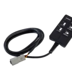
Quick Switch Settings – the CHCNav IC100 supports both two-way valve and multi-way valve scrapers as well as being able to switch between automatic and manual modes.
Works Across Versatile Landscapes – the CHCNav IC100 can be used for fallow, dry, and paddy field land levelling.
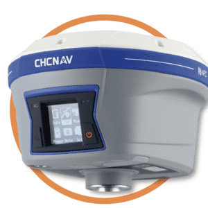
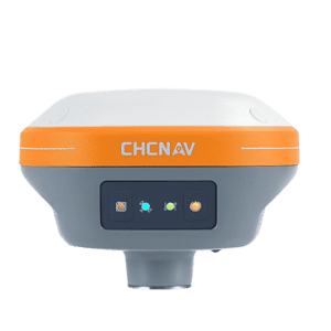
Integrated High-Precision GNSS Receiver – with its in-built GNSS receiver, the CHCNav IC100 is capable of tracking multiple satellite constellations to provide superior accuracy.
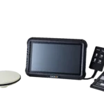
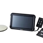
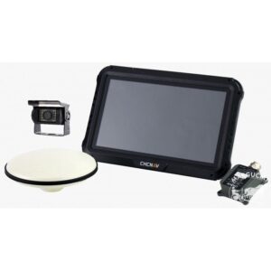
Compact Design – the compact and lightweight design of the CHCNav IC100 allows for easy transportability and in-field operation.
Improved accuracy and reliability in GNSS positioning reduces rework and enhances productivity.
Rugged design ensures superior durability in harsh environmental conditions.
Extended battery life supports longer working hours without the need for frequent recharging.
Versatile applications across various industries due to its advanced technology and robust design.
Key Applications of CHCNav IC100
The CHCNav IC100 Land Levelling System uses high-precision GPS technology that makes it suitable for a wide range of applications, including land surveying and construction surveying alongside precision agriculture.
Construction Surveying – with the ability to record high-accuracy geospatial data across a range of terrain, the CHCNav IC100 is suitable for construction site mapping and management.
Agricultural Land Surveying & Layout – the CHCNav IC100 provides high-accuracy geospatial data collection that supports efficient and optimised agricultural operations.
Infrastructure Monitoring & Maintenance – the CHCNav IC100 can be used in either automatic or manual modes to support the manual operation of scraper lift/drop functions, allowing for convenient rough-levelling operation.
Environmental & Geological Research – integrated RTK technology allows the CHCNav IC100 to be a suitable land levelling system to be used in conducting detailed environmental and geological research.
With over 40 years of experience providing tailored agricultural technology solutions to support broadacre farming and other unique industrial applications, Autonomous AG is one of Australia’s most trusted suppliers of farm management software and hardware.
Our partnership with industry-leading manufacturers like CHCNav ensures that Autonomous AG is positioned to provide Australian farmers with cutting edge precision agriculture technologies.
If you’re looking to leverage the power of autonomous farming for your modern farm, speak with our experts in farming innovation here at Autonomous AG today.
Want more information on the autonomous farming and precision agricultural technologies we offer? Our experts are always here to help. Send an inquiry to our team Autonomous AG to secure the right intelligent farming systems for your needs.


Reviews
There are no reviews yet.